Weather / 31 January 2023
NZ readies for more rain

THE SQUIZ
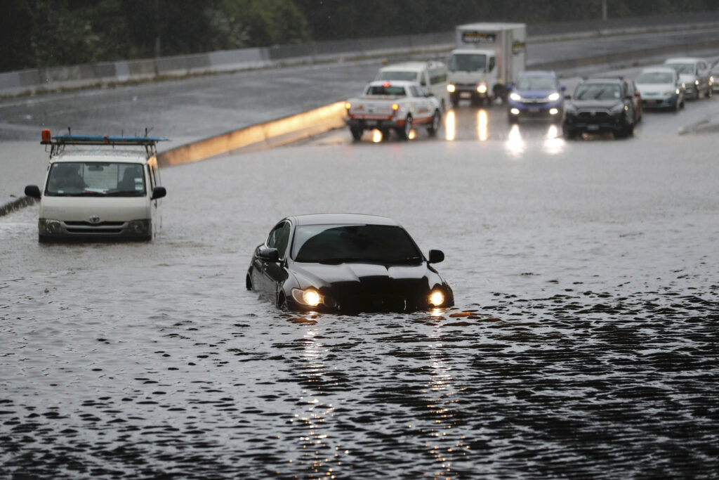
Kiwis have been warned that there’s more heavy rain on the way for the soaked North Island, with 100-140mm forecast in some areas today. It comes after a deadly deluge caused flash floods and landslides in the country’s largest city of Auckland, Waikato and the Bay of Plenty on Friday after getting the wettest day on record, with new PM Chris Hipkins calling it “unprecedented” and a “significant disaster”. Reports say 4 people have died, and about 350 are in emergency accommodation, with Auckland put under a state of emergency. It’s also continuing to cause chaos at Auckland Airport, with limited flights heading in and out after receiving 249mm of rain on Friday, easily breaking the record of 161.8mm set in 1985.
WHAT’S HAPPENING THERE?
It’s something we’re a bit familiar with… Reports say La Niña is behind the record deluge. Researchers say Auckland’s received more than 8 times its average January rainfall and 40% of its annual average. Galleries and videos show the damage to homes and infrastructure, estimated to total more than $88 million. Authorities say 5,000 properties are being assessed, dozens of roads are closed, and schools won’t reopen until 7 February to allow time for repairs. Hipkins has toured some of the worst-hit areas, witnessing what he said was “a number of homes damaged by flooding but also extensive earth movements”. Still, some Kiwis are determined to stick to their daily routines…
HAVE WE MISSED THIS DOWNPOUR FOR ONCE?
Nope. It’s probably not what you want to hear if you’re on the east coast, but parts of Queensland, NSW and Victoria are in the firing line for more wild weather this week. Reports say the storms, heavy rain and winds that have been moving across Victoria and NSW are due to move north into Queensland today, which is likely to be “wetter than usual” over the next 2 weeks. Reports say Maroota (on the north-western outskirts of Sydney) received 41mm of rain in half an hour on Sunday afternoon. And further south, 150mm of rain was recorded overnight on Sunday along the Victoria-NSW border. Victorians might also feel a bit frostier than usual, thanks to a cold front likely to hit late this week. Temps are forecast to drop below freezing, and the High Country might even see a dusting of summer snow, which wouldn’t be the first time it’s happened this season. It makes you want to head to Perth for its anticipated 36C day…
Know someone who'd be interested in this story? Click to share...
The Squiz Today
Your shortcut to being informed, we've got your news needs covered.
Also Making News
Get the Squiz Today newsletter
Quick, agenda-free news that doesn't take itself too seriously. Get on it.
