Australian News / 11 October 2022
A soggy and cyclonic summer awaits

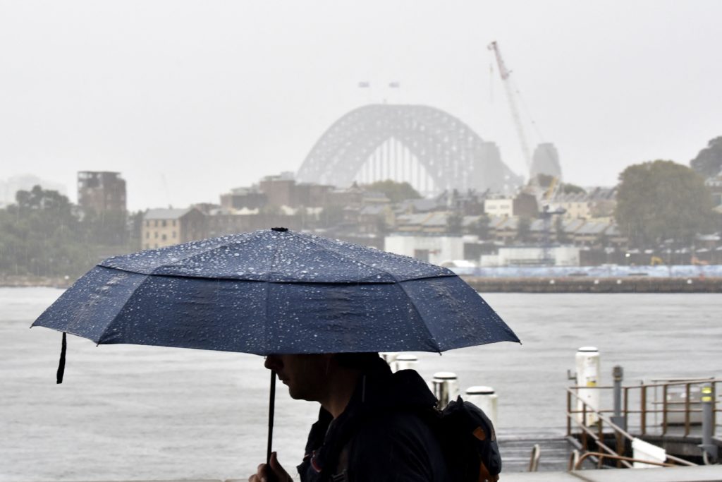
Soz to those hoping for a ‘normal’ summer, but it looks like more extreme weather events are on the horizon for much of the country. According to the Bureau of Meteorology’s long-range forecast, round 3 of La Niña and a negative Indian Ocean Dipole means there’s an increased risk of floods for eastern and northern Australia this summer, as well as an above-average number of tropical cyclones. And Australia’s cyclone season – which usually spans November to April – is likely to start this month. While the risk of bushfires in the east remains average, there’s a higher risk of grass fires and heatwaves in southern Australia. Meanwhile, several regional NSW communities remain on flood alert as another round of rain is expected to start in NSW tonight. South Oz, Victoria and Tassie are also set to get a drenching before a mostly dry weekend. Onwards and upwards x2…
Know someone who'd be interested in this story? Click to share...
The Squiz Today
Your shortcut to being informed, we've got your news needs covered.
Also Making News
Get the Squiz Today newsletter
Quick, agenda-free news that doesn't take itself too seriously. Get on it.
