Australian News / 20 September 2023
A long-awaited declaration…

THE SQUIZ
It’s officially official: El Niño is here… The Bureau of Meteorology (BOM) has confirmed that the hot and dry weather pattern is going to be a thing for Australia this spring – and it’s likely to stick around at least until the end of summer. And if that’s not enough, Dr Karl Braganza from the BOM’s climate monitoring team says we’re also in for a ‘positive Indian Ocean Dipole’. He says that combination means an even higher risk of bushfires and extreme heat.
WHAT THE WHAT?
Stay with us… There’s been lots of talk of an El Niño heading our way – it’s when the central/eastern Pacific Ocean’s surface warms, causing moisture/rainfall to shift away from Australia’s east. The BOM resisted an official declaration while it waited for readings from the Southern Oscillation Index (SOI) to line up. You can dive into it here, but the SOI measures air pressure differences to our north over 90 days and it points to the intensity of these climate drivers. Braganza said, “it has been bumping around so we were waiting another week” to see if El Niño was indeed here – and now, it’s official. Meanwhile, the Indian Ocean Dipole (IOD) is showing higher-than-average sea surface temperatures in the western Indian Ocean and cooler waters in the east, which can mean droughts in southern and western Oz. Put simply: it’s going to be a hot few months for a good whack of the country …
SO THINGS ARE HEATING UP?
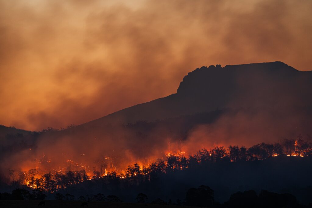
They already have… The fire warning for the South Coast of NSW was upgraded to ‘catastrophic’ yesterday as temps in the mid-30Cs and high winds fanned 73 bushfires across the state, causing more than 20 schools to close. NSW Rural Fire Service Commissioner Rob Rogers said the conditions are “the worst risk we’ve faced since the Black Summer fires”. Yikes… Parts of Tassie were on alert yesterday, and Queensland’s also copping it with dozens of fires burning and authorities tipping worsening conditions today and later this week. Today, Sydney’s forecast to experience its hottest September day in 23 years, and the heat is heading north tomorrow. Meanwhile, those in South Oz and Victoria have some relief with a cool change already starting to move over. What a time, eh?
Know someone who'd be interested in this story? Click to share...
The Squiz Today
Your shortcut to being informed, we've got your news needs covered.
Also Making News
Get the Squiz Today newsletter
Quick, agenda-free news that doesn't take itself too seriously. Get on it.
